


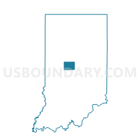
EAGLE 12, Boone County, Indiana
About
Outline

Summary
| Unique Area Identifier | 576473 |
| Name | EAGLE 12 |
| County | Boone County |
| State | Indiana |
| Area (square miles) | 0.68 |
| Land Area (square miles) | 0.67 |
| Water Area (square miles) | 0.00 |
| % of Land Area | 99.36 |
| % of Water Area | 0.64 |
| Latitude of the Internal Point | 39.95096180 |
| Longtitude of the Internal Point | -86.26262150 |
Maps


Graphs
Select a template below for downloading or customizing gragh for EAGLE 12, Boone County, Indiana


Neighbors
Neighoring Voting District (by Name) Neighboring Voting District on the Map
- EAGLE 01, Boone County, IN
- EAGLE 02, Boone County, IN
- EAGLE 03, Boone County, IN
- EAGLE 04, Boone County, IN
- EAGLE 11, Boone County, IN
- EAGLE 16, Boone County, IN
- EAGLE 17, Boone County, IN